DTC Sky Trail
menu ssi
QuickMenu Save Document
Home
DTC History
History
Facilities
Camps
Divisional
Young
Coxcomb
Granite
Iron Mountain
Rice
Clipper
Essex
Ibis
Other
Desert Center
Cadiz
Goffs
Other Locations
Aeronautical
DTC AirFields
Shaver's (Chiriaco) Summit
Desert Center Army Airfield
Iron Mountain
Rice Army Airfield
Essex
DTC Airstrips
Coxcomb
Goffs
Ibis
Nearby Airports
Blythe
Roys
Needles
Laughlin/Bullhead Airport
Reports and Articles
On-line
Purchase
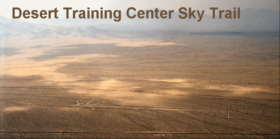
DTC Sky Trail
DTC Sky Trail Overview
Route
Chart
GPS Waypoints
Docent Narrative
Regulations
FAA FARs
Desert Survival
Considerations
Supplies
Volunteering
Needs
Organization Inception
Signup Sheet
Contact
BLM
Site Map