Your Weather App Has No Idea What's Happening Up There
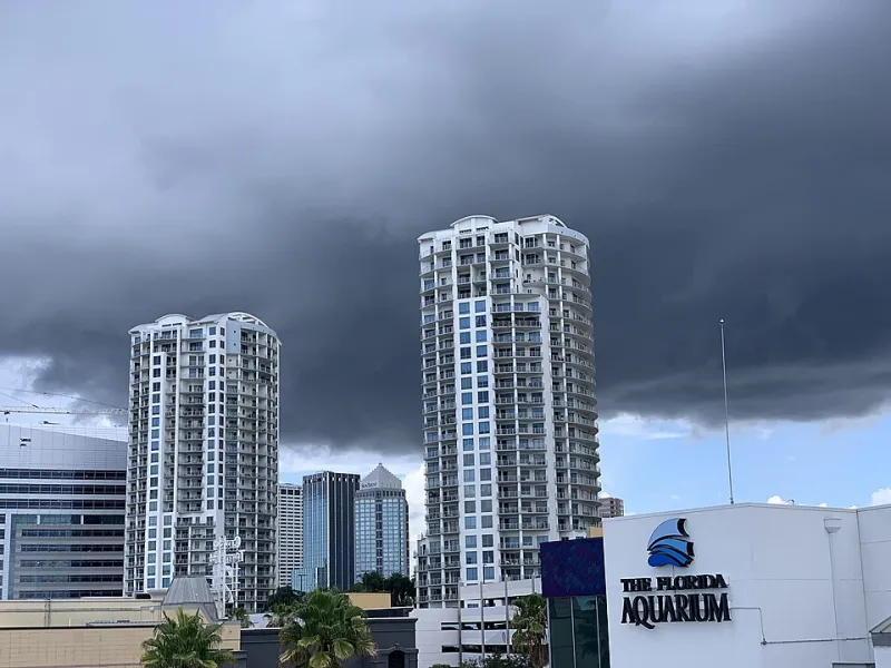
Photo: MrSwagger21, CC BY-SA 4.0, via Wikimedia Commons
You checked the forecast the night before. Sunny. High of 68. Maybe a slight chance of afternoon clouds. You packed accordingly, left the rain jacket in the car, and started climbing at 7 a.m. feeling pretty good about yourself.
By noon, you're pinned on an exposed ridgeline in the Rockies while lightning splits the sky three miles out and a wall of hail moves toward you faster than you can descend.
This isn't bad luck. It's a gap in knowledge that catches hikers every single season — from the White Mountains of New Hampshire to the Cascades in Washington. Your weather app pulled data from a valley station, ran it through a regional model, and handed you a prediction built for someone driving to a barbecue. Not someone standing at 12,000 feet with nowhere to hide.
Let's fix that.
Why Standard Forecasts Fall Apart at Elevation
Most weather apps — even the good ones — pull from NOAA surface observation stations and blend that data with National Weather Service model output. The problem? The vast majority of those stations sit in valleys, near airports, or in towns. They measure what's happening at low elevation, and the models extrapolate upward.
That extrapolation gets messy fast. Temperature drops roughly 3.5°F for every 1,000 feet of elevation gain, but that rate shifts depending on humidity, time of day, and whether a front is moving through. Wind speeds that seem manageable at the trailhead can triple above treeline because there's nothing left to slow them down. Moisture that evaporates before reaching your starting point might still be condensing into clouds right at summit level.
The result is a forecast that's technically accurate for the region but practically useless for the terrain you're actually hiking.
The Tools That Actually Help
If you're heading into serious mountain terrain, ditch the general weather app as your only source. Here's what to layer in instead.
Mountain-Specific Forecast Services The National Weather Service publishes zone forecasts broken down by elevation band for many major mountain ranges. These aren't perfect, but they account for ridgeline versus valley conditions in a way that consumer apps simply don't. For the Sierra Nevada, Cascades, Rockies, and Appalachians, check the relevant NWS forecast office and look specifically for "above treeline" or "alpine zone" language.
Spot forecasts are another option — the NWS will generate a forecast for a specific lat/lon coordinate and elevation on request, primarily used by wildland firefighters but available to the public through their website. If you're planning a technical summit attempt, this is worth the ten minutes it takes.
Mountain Weather Apps Worth Knowing Apps like Mountain-Forecast.com and Windy pull from higher-resolution models and let you check conditions at specific elevations. They're not infallible, but they're a significant step up from checking the weather for the nearest town. Windy in particular is excellent for visualizing wind patterns, frontal movement, and storm cell development in a way that a simple forecast strip never shows you.
Learning to Read the Sky Yourself
Here's the thing about mountain meteorology: the best forecasting tool you have is your own set of eyes, once you know what to look for.
Lenticular Clouds Those smooth, lens-shaped clouds sitting on or just above a summit aren't decorative. They form when moist air hits a peak and gets forced upward, cooling and condensing. A lenticular cloud means strong winds at altitude — often far stronger than what you're feeling below. If you see one parked over your target summit, expect sustained gusts and potentially disorienting conditions near the top.
Cumulus Buildup Small, puffy cumulus clouds in the morning are normal. Watch what they do over the next hour or two. If they're stacking vertically — growing taller rather than spreading out — that's convective instability at work. By early afternoon, those innocent puffs can become cumulonimbus towers, which is the technical term for the thing that throws lightning at you. In the Rockies especially, the rule of thumb is to be off exposed ridgelines by noon. That's not overcautious. That's just pattern recognition.
Wind Shifts A sudden change in wind direction is one of the most reliable early warnings of an approaching front. If you've had a steady breeze from the southwest all morning and it abruptly swings to the northwest and picks up speed, something is moving in. Don't wait to see what it is. Start making decisions about descent.
The Smell and Feel of the Air This sounds unscientific, but experienced mountain hikers will tell you they can feel a storm coming. What they're actually detecting is a drop in barometric pressure, increasing humidity, and sometimes the faint metallic scent of ozone that precedes electrical activity. If the air suddenly feels heavy and the temperature drops fast without explanation, that's real data. Trust it.
Microclimates: The Thing No App Will Ever Predict
Even the best mountain forecast can't account for microclimates — the hyperlocal weather patterns created by specific terrain features. A narrow couloir can funnel wind to dangerous speeds. A bowl-shaped cirque can trap moisture and stay socked in with fog long after the surrounding ridgeline clears. A south-facing slope in Colorado will be dry and warm while the north-facing aspect ten feet away is still icy.
The only way to learn microclimates is to hike the same terrain repeatedly across different seasons and conditions, or to talk to people who have. Local hiking clubs, ranger stations, and trail-specific online communities are goldmines for this kind of knowledge. Before a major summit attempt, it's always worth asking someone who's been up that specific route recently — not just checking the general area forecast.
Building a Pre-Hike Weather Habit
Good mountain weather awareness isn't a single check the night before. It's a process.
Start three days out with a broad regional look — is there a front moving through? Any unusual pressure systems? Two days out, get more specific with elevation-banded forecasts and check for any model disagreement (when different weather models diverge significantly, it means the atmosphere is doing something complex and forecasts should be taken with extra skepticism). The morning of, do a final check and look for any overnight changes, then physically look at the sky at the trailhead before you commit.
And throughout the hike, keep looking up. The sky is the most current forecast available.
The Bottom Line
Mountain weather doesn't care about your itinerary. It doesn't care that you drove six hours to get there or that you've been planning this trip for three months. It operates on its own timeline, follows its own logic, and changes faster than any app can track.
The hikers who consistently make good decisions in the mountains aren't just lucky. They've learned to treat weather reading as a core skill — as fundamental as navigation or first aid. They know which clouds to respect, which wind shifts to act on, and when to turn around without waiting for certainty.
Your phone is a starting point. The sky is the real forecast. Learn to read both.