What Rangers Won't Tell You: Decoding the Real Story Behind Official Trail Reports
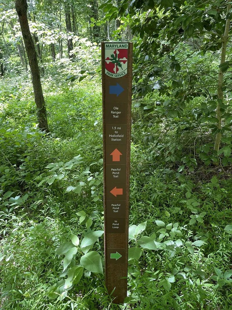
Photo: Elliott R. Plack, CC BY-SA 4.0, via Wikimedia Commons
You've done everything right. You checked the park's website the night before, scanned the trail conditions page, maybe even called the visitor center. The report said something like "trail passable with caution" or "minor blowdowns near mile 4." So you drove three hours, paid the parking fee, and hit the trailhead — only to find yourself staring at a creek crossing that's chest-deep, a washout that's eaten half the switchbacks, or a snow field that would make a mountaineer nervous.
Welcome to the gap between what the sign says and what the mountain actually does.
This isn't a knock on rangers. Most of them are hardworking, underpaid, and genuinely passionate about the land they manage. But the system they operate inside — bureaucratic, liability-conscious, and chronically understaffed — produces trail condition reports that can be dangerously optimistic. And if you don't know how to read them critically, you're setting yourself up for a bad day.
Why Official Reports Are Almost Always Behind the Curve
Here's the uncomfortable math: a single ranger district might be responsible for hundreds of miles of trail. The staff to actually walk those trails and assess conditions in real time simply doesn't exist at most parks. The National Park Service has been dealing with a staffing and funding shortfall for years, and it shows in how trail information gets updated — or doesn't.
In many cases, condition reports are based on the last time a ranger or trail crew physically walked a section, which could have been weeks ago. A storm that rolled through on Tuesday isn't necessarily reflected in a report that was written the previous Friday. Seasonal transitions are especially tricky. Snowmelt in the Sierra Nevada or the Rockies can transform a "passable" trail into a raging creek crossing in 48 hours, but the website might not catch up for days.
Then there's the language itself. Phrases like "use caution" or "some difficulty expected" are deliberately vague. They're written by people who know that every hiker has a different skill level, and they're also written with one eye on the legal department. Saying a trail is "dangerous" or "impassable" creates liability. Saying it requires "caution" puts the responsibility squarely on the hiker.
The Liability Problem Nobody Talks About
Park agencies operate in a legal environment that shapes how they communicate risk. If an official report says a trail is open and someone gets hurt, the agency is on stronger legal footing than if they flagged serious hazards and someone went anyway. This creates a perverse incentive to understate conditions.
This isn't speculation. Hikers who've been caught off guard by conditions that didn't match reports have filed complaints with agencies from Zion National Park to the White Mountain National Forest. The responses are almost always the same: the report reflected conditions at the time of the last inspection, and hikers are advised to use their own judgment.
That last part — "use your own judgment" — is doing a lot of heavy lifting. It's also a signal that the official report is a starting point, not a final answer.
Real Examples from Popular US Trails
Consider what happens every spring on trails like the Half Dome cables route in Yosemite. The park posts updates about cable installation dates, but the conditions leading up to the cables — particularly the subdome slabs — can be icy and genuinely dangerous well after the official season begins. Hikers who take the "cables are up" announcement as a full green light sometimes encounter conditions that surprise them.
Or look at the Appalachian Trail through the Great Smoky Mountains. The AT Conservancy and the park service both maintain condition pages, but trail maintainers — the volunteer crews who actually walk these sections — often have more current and candid information than the official channels. Blowdowns, muddy bogs, and washed-out water bars don't always make it into the formal reports, but they're all over the trail maintainer forums.
Out west, the John Muir Trail presents a similar story. Snow conditions in early season can vary dramatically by year, and the official permit system doesn't always account for how that affects actual trail safety. Hikers with JMT permits for early July have arrived at passes buried under several feet of snow that the permit office never mentioned.
How to Actually Get the Real Story
So what do you do? You dig deeper, and you triangulate.
Call the ranger station directly — and ask specific questions. Don't ask "is the trail open?" That's a yes/no question designed to get a yes/no answer. Ask: "When was the last time a ranger physically walked the section between miles 6 and 10?" Ask: "Are there any water crossings that have been running high this week?" Ask: "What gear would your staff carry on this route right now?" Specific questions force specific answers.
Check recent trip reports from real hikers. AllTrails, Hiking Project, and trail-specific forums like the White Mountains subreddit or the Sierra Nevada hiking groups on Facebook are goldmines. A hiker who was on the trail three days ago has information no official report can match. Look for reports with photos — conditions you can see are conditions you can actually plan for.
Find the trail maintainer community. Volunteer trail crews, hiking clubs like the Appalachian Mountain Club or the Sierra Club, and regional trail associations often post candid condition updates that fly under the official radar. These folks have no liability concerns and every reason to tell you the truth.
Understand seasonal patterns for your specific region. Snowmelt timing, monsoon season in the Southwest, hurricane season impacts on East Coast trails — these are predictable rhythms that can tell you more about likely conditions than any single report. If you're hiking a Colorado 14er in late June, the question isn't whether there's snow. The question is how much.
Change Your Relationship with the Report
The biggest mental shift is treating official trail reports as one data point among many, not as the authoritative word from on high. They're useful — they can flag closures, fire restrictions, bear activity, and infrastructure issues that you wouldn't find anywhere else. But they're not the whole picture, and they were never designed to be.
Good hikers develop a habit of healthy skepticism. They read the official report, then they go looking for what the report might have missed. They build in flexibility for conditions to be worse than advertised. They carry gear for the trail they might encounter, not just the trail they were promised.
The mountain doesn't read the website. It doesn't care what the conditions page says. It's just doing what mountains do — changing, shifting, responding to weather and season and the relentless physics of water and gravity.
Your job is to close the gap between the report and the reality. And now you know how.